
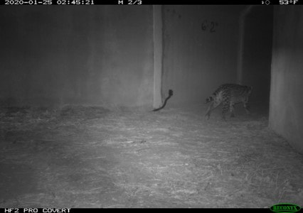
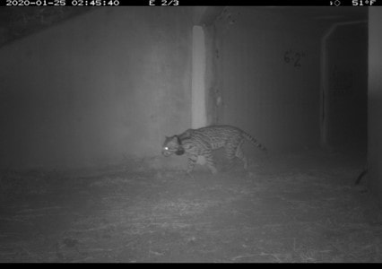
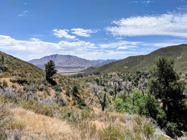
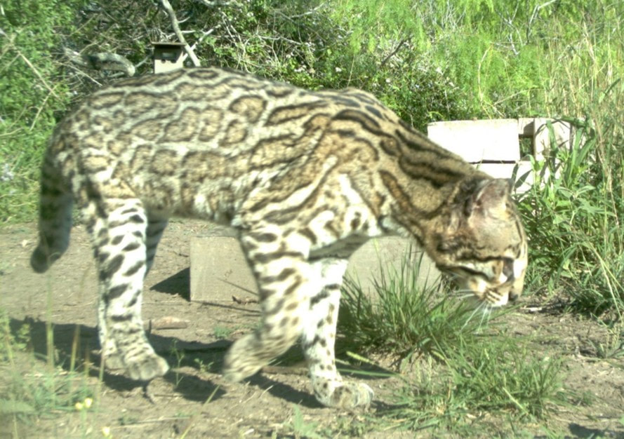
| A new lab publication in Landscape Ecology explores the landscape predictors of road mortality for the south Texas ocelot, a critically endangered felid. Fewer than 100 of these beautiful neotropical wildcats remain at the very southern tip of Texas, and vehicle collisions are the largest source of mortality for this small population. | 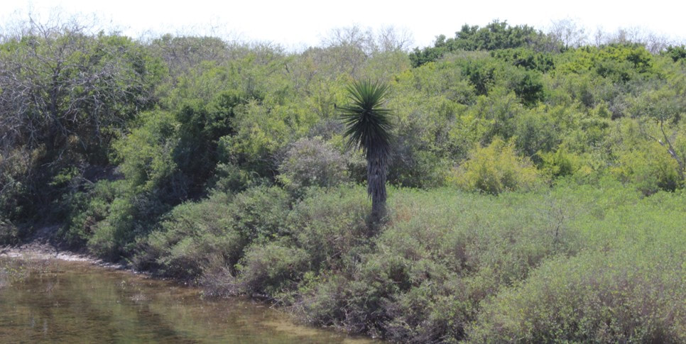 |
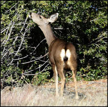
| Our research shows that high ocelot road mortality risk is limited to areas of intact Tamaulipan thornscrub habitat and low development. Because so little scrub habitat remains in south Texas, targeted mitigation including underpasses and wildlife fencing in areas of intact habitat could effectively reduce ocelot road mortality. We also suggest that managers plan mitigation and restoration efforts jointly to ensure that restored areas near roads do not become new sources of mortality. Because there are so few ocelots in south Texas, bobcats are often touted as a potential surrogate for ocelot research. However, until this publication, that concept had never been formally evaluated. We show that, when data were appropriately filtered, bobcats had similar landscape factors associated with road mortality risk and were an acceptable surrogate for understanding ocelot road mortality risk, which has important implications for ocelot research moving forward. Conservation Ecology Lab M.S candidate Greta Schmidt led the publication along Dr. Rebecca Lewison and U.S. Fish and Wildlife Service Ocelot Biologist Dr. Hilary Swarts, and you can read the full manuscript here. | 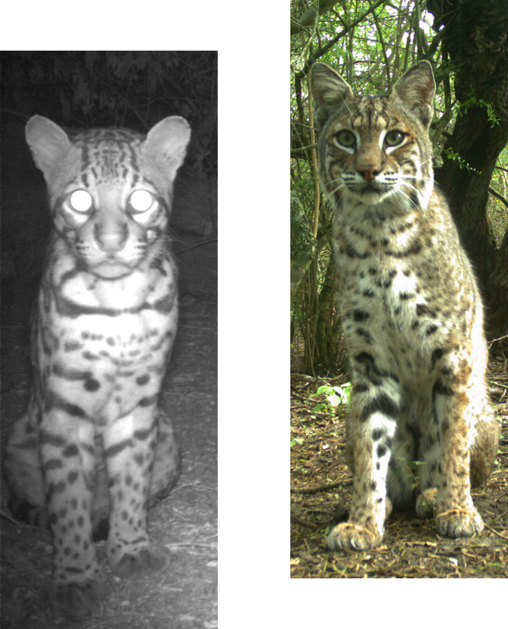 Ocelot (L) and Bobcat (R). Do they share predictors of road mortality risk? Photo Credits: USFWS |


 RSS Feed
